With the rise in the popularity of drones, aerial photos and footage is now widely available – which is great, as there are so many ways to use them!
Check out our list below for inspiration and to find out the secrets you need to know to start capturing your own stunning aerial photos.
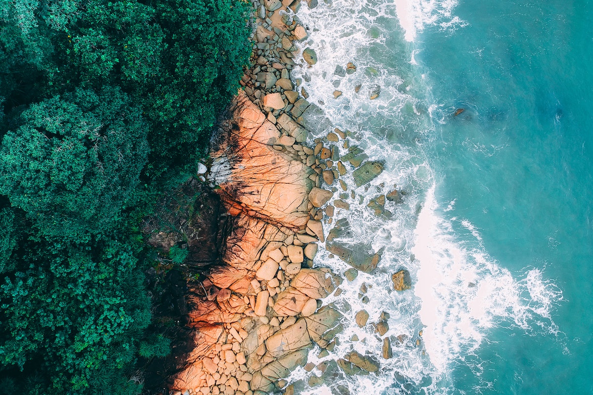
Create Stunning and Unique Gifts
One of the best things about owning a drone is the ability this gives you to capture some truly spectacular aerial shots. When printed, blown up, and framed, these images can make for very special, personalized gifts. For example, an aerial image of a home that’s been in the family for generations, of the beach where a friend got engaged, or of a much-loved vacation site all makes for wonderful presents that’ll be treasured forever by the recipient.
Planning a Hike
Aerial photos can be useful to help plan a hike, often offering more of an on-the-ground idea of the lay of the land than a map can. If the aerial footage is recent or live, you’ll be able to see the conditions you can expect to encounter, whether there are any obstacles to be aware of, and plan out the best routes taking into account natural features you’d like to see.
Documenting a Special Event
Whether it’s a festival, a wedding, or a garden party, getting aerial images taken can be a great way to remember the event. If you’re thinking about making a video of the event, using a mix of custom-shot footage and aerial stock footage is the perfect way to add the wow factor and achieve a show-stopping result.
Viewing Changes to the Landscape
If you’re interested in the history of your local area or another specific spot, studying aerial photos taken at different points in time can allow you to witness the many changes that have occurred over the years, from the construction of new buildings to the addition of, for example, bridges, roads, or – more recently – newly re-wilded areas. And if you’re fascinated by history, aerial footage is an effective way of viewing elements of the historic landscape that can’t be easily viewed from the ground, such as the marks in the landscape made by ancient settlements or land holdings.
Get an Overview of a New Area
If you’re thinking of moving to a new area or will be visiting a city you’ve never been to before, taking a whistle-stop tour using aerial photos and footage can help you get a general ‘feel’ for the place. You can see, at a glance, how built-up certain areas are, whether there are plenty of green spaces, and the location of, for example, major shopping centers, schools, and the links to the freeway.
Helping the Kids with their Geography Homework
There are many different types of aerial images – some can be used to ascertain gradients, while others highlight the impact of human activity on the local environment. Looking at aerial photos with your kids is a great way to support their school geography studies and bring what they’re learning in the classroom to life.
Supporting a Survey
If you’re thinking about buying a property, some aerial images can give you valuable additional information to help you figure out whether or not to make the investment. Many professional surveyors now use drone aerial footage themselves as part of assessing a property and its surrounding land.
Tips for Taking Great Aerial Photos
If you’ve got a drone and would like to get started taking aerial photos, use the tips below for great results every time!
Careful Planning
Plan out your flights carefully, checking things like the weather report, and the times of sunrise and sunset, to ensure that everything goes smoothly and you have the chance to get the best shots possible. The time of day may be important if, for example, you want images at a time when there is likely to be little traffic on the roads.
Shoot in RAW
While you can choose to shoot in JPEG format with most drones, choosing RAW instead will likely give you the highest-quality shots possible and allow you to take full advantage of the sensor on your drone’s camera. RAW files contain a huge amount more data than their JPEG counterparts – although this means you’ll need image processing software to edit and process RAW files, the results are well worth the effort.
The Golden and Blue Hours
The quality of the light will have a profound effect on the beauty and drama of your aerial shots. Wherever possible, choose either the so-called Golden Hour or Blue Hour to capture images. The former is around sunrise, and the latter is at sunset – these times offer the very best light without any of the harshness and shadows that can occur at other points in the day.
Making the Most of Aerial Photography: Final Words

You may be surprised at just how many great uses there are for aerial photos and footage – from documenting special events to tracking historical changes to the local landscape; the possibilities really are endless! With drones now so widely available, why not use the above tips to have a go at creating your own spectacular aerial imagery?